Greenwich Magnetic Observatory (1836-1926)
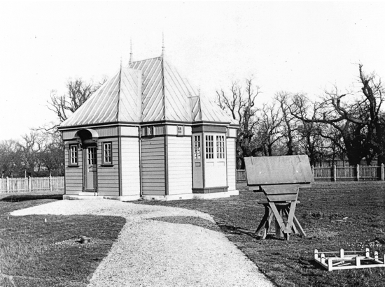
Due to its function as a facility for marine navigation, occasional measurements of magnetic declination began at Greenwich Observatory soon after its establishment in 1676. It was, however, not until 1836, and the great campaign of the Göttingen Magnetic Union, that the building of a specialised magnetic observatory on the site was undertaken. This led to the much more regulated regime of measurement which continued until the observatory's closure in 1926.
In 1847 staffing pressures triggered the introduction to Greenwich of the first photographic system of magnetometers. Greenwich Observatory was also involved in the production of magnetic navigational charts from 1701 to 1955.
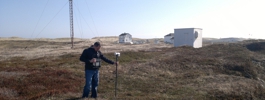
By the end of the eighteenth century magnetic pollution from nearby buildings was beginning to affect the observatory and a new site was chosen in the neighbouring parkland in 1896. Eventually this proved insufficient, with the electrification of nearby railways forcing the establishment of a new observatory at Abinger in 1924. Continuous magnetic recording at Greenwich finished in May 1926.
Statistics
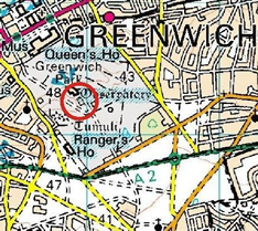
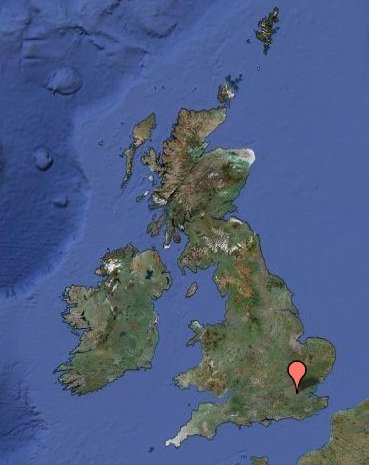
Geographic Coordinates:
| 51° 29´ N | 0° 0´ E |
Data
Mapping data licensed from Ordnance Survey with the permission of
HMSO Crown copyright.
All rights reserved. Licence Number: 100017897/2015