Hartland Magnetic Observatory
| Name | Hartland |
|---|---|
| IAGA code | HAD |
| Location | Hartland, Devon, England, United Kingdom |
| Latitude | 50.995° N |
| Longitude | 355.516° E |
| Elevation | 95m |
| Geomagnetic Latitude | 46.932 ° N |
| Geomagnetic Longitude | 73.130° E |
| Orientation | HDZF |
| In Operation since: | 1957 |
| INTERMAGNET member since: | 1991 |
Quasi-dipole geomagnetic coordinates are approximations calculated using the 14th generation IGRF at epoch 2026.5.
Background
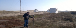
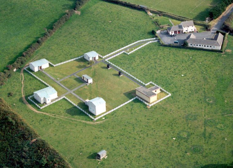
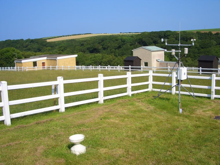
Hartland Observatory is situated on the NW boundary of Hartland village. The site is the southern half of a large meadow, which slopes steeply northward into a wooded valley. The sea (Bristol Channel) is about 3 km to both the north and west of Hartland. BGS operates a broadband three-component seismometer set and a LF microphone at the observatory, and data from seismic outstations are transmitted to the observatory by radio link.
The observatory was purpose-built for magnetic work, and continuous operations began in 1957, the International Geophysical Year (IGY). Hartland is the successor to Abinger and Greenwich observatories. The moves from Greenwich to Abinger and then to Hartland were made necessary as electrification of the railways progressed, making accurate geomagnetic measurements impossible in South-East England. BGS took over control of Hartland Observatory, from the Royal Greenwich Observatory, in 1968.
There is one BGS staff member stationed at Hartland.
Hartland magnetic observatory is part of the INTERMAGNET network.
Low-field Calibration Facility
Hartland Observatory is equipped with a pair of symmetrical calibration coils in a dedicated non-magnetic building providing an excellent low-field facility (LFF). Since 1983, the coils have been used to calibrate compasses and magnetometers for the oil and avionics industries.
More information on the Low-field Calibration Facility.
New measurements, new research
In May 2013 two electrode pairs were installed at Hartland to measure the geo-electric field.
Collaboration
We host instruments for the following collaborators:
- University of Reading - Atmospheric Electric Field Monitoring
- SCAMP - Meteor detection camera. Part of the FRIPON network.
Data