Kew Magnetic Observatory (1857-1924)
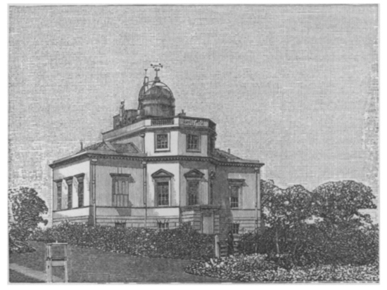
The observatory building at Kew, which had been a royal astronomical observatory from 1769 to 1840, was leased to the British Association for the Advancement of Science in 1842. It was to serve from then as an observatory for the study of the physical sciences, including a role ‘as the depository of a complete set of magnetic instruments ... in order that any persons desirous of so doing may understand their construction and acquire their use’. Indeed, by 1880 the observatory at Kew had supplied instrumentation to 20 observatories across Europe, Asia, Australia, Africa and the Americas, and was the hub of a programme to compare magnetic activity at these locations.
In 1871 financial hardship nearly brought operations to a halt, but they were saved by a £10,000 private bequeathment, and the transfer of administration to the Royal Society.
Encroaching tram activity was beginning to affect the magnetic readings by 1901, prompting the opening of Eskdalemuir observatory (built with compensation from the tram companies) in 1908. Though Kew no longer had its prior status, operations continued there until the retirement of its illustrious final superintendent, Charles Chree, in 1925.
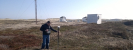
Excluding gaps in 1853-6 and 1874, the observatory carried out continuous magnetic observations from 1850 until 1924. The BGS possesses records of these from 1857 to 1924.
Statistics
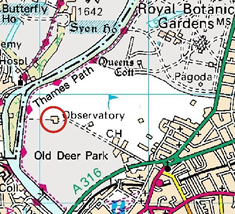
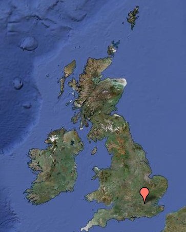
Geographic Coordinates:
| 51° 28.0´ N | 359° 41.0´ E |
Elevation: 6m above mean sea level
Data
Mapping data licensed from Ordnance Survey with the permission of
HMSO Crown copyright.
All rights reserved. Licence Number: 100017897/2015