Stonyhurst Magnetic Observatory (1866-1973)
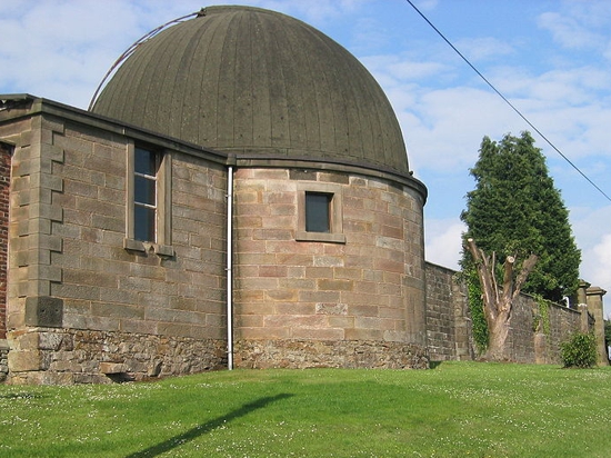
Initially an astronomical observatory, Stonyhurst was first used for magnetic measurements in 1858 when General Sir Edward Sabine chose it as one of the key stations in his magnetic survey of England. Regular monthly observations were carried out from 1863 by Father Walter Sidgreaves, and these continued until a set of photographic magnetometers were donated by the Royal Society in 1866.
It was due to work at Stonyhurst Observatory between 1881 and 1898 that Sidgreaves first noted that magnetic storms were not directly caused by sunspots, but rather the resulting solar wind.
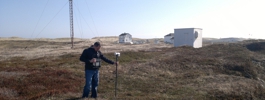
Though the continuance of observations was dependent on the dedication of college staff, rather than the backing of major scientific bodies, magnetic records from Stoneyhurst stretch from 1867 until 1973. These are now stored in the BGS archive.
Statistics
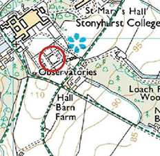
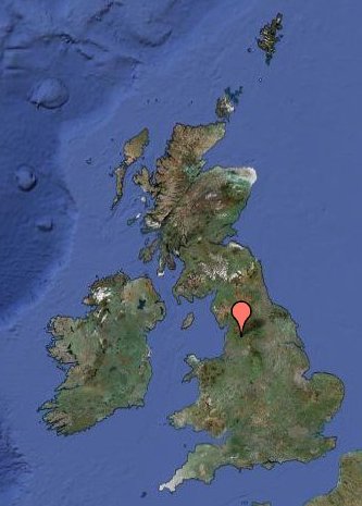
Geographic Coordinates:
| 53° 51´ N | 357° 32´ E |
Data
Mapping data licensed from Ordnance Survey with the permission of
HMSO Crown copyright.
All rights reserved. Licence Number: 100017897/2015