
UK Magnetic Survey
Magnetic field strength and direction over the UK change both with time and location. Over the UK, declination varies by about 5 degrees from the south-east to the north-west. Likewise, inclination varies by about 8 degrees and total intensity by about 3000 nT, both increasing from south to north. Information published on Ordnance Survey and other maps needs to be regularly updated to take account of the declination changes. The data gathered from the re-occupation of a network of survey points scattered the length and breadth of the UK along with data from the three UK observatories, provides this information through annual updates of the UK Regional Geomagnetic Model. This is a model of the magnetic field of the UK and its secular variation, or slow rate of change in time. The accuracy of this model is dependent on the quality of the repeat station data and the regularity with which they are re-occupied.
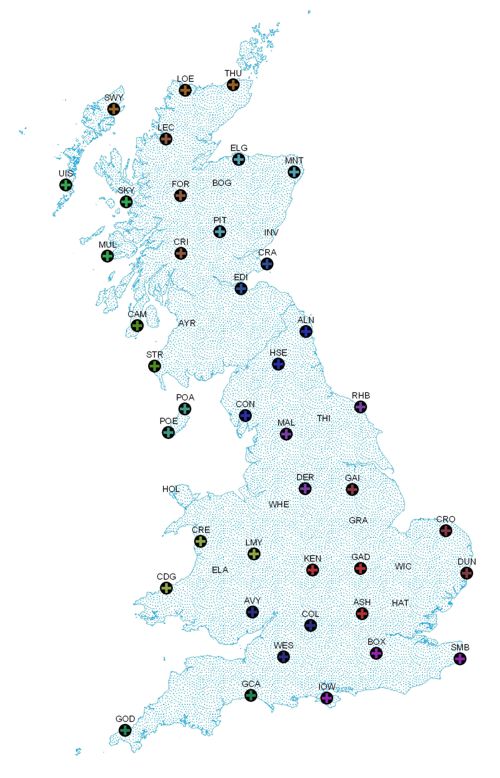
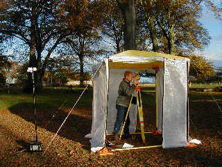
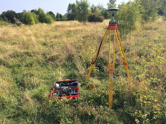
The locations of the magnetic repeat stations are chosen for their isolation from magnetic interference. The survey position is fixed by marker, by survey bearings and by Global Navigation Satellite System data in order that an exact re-occupation can be made during future surveys. The current network was established in Great Britain between 1985 and 1988 and from 2008 comprises 41 stations. The rolling programme of re-occupations means that all the repeat stations are visited at least once every four years.
Data
The data gathered from the United Kingdom magnetic survey are available from our global magnetic survey data holdings as a web service call.
The data are also combined with similarly collected data from across the world in order to compute and assess global and continental-scale models of the geomagnetic field.
The angle between grid north (British National Grid) and magnetic north can be computed using the Grid Magnetic Angle Calculator.
Three Norths Align across Great Britain
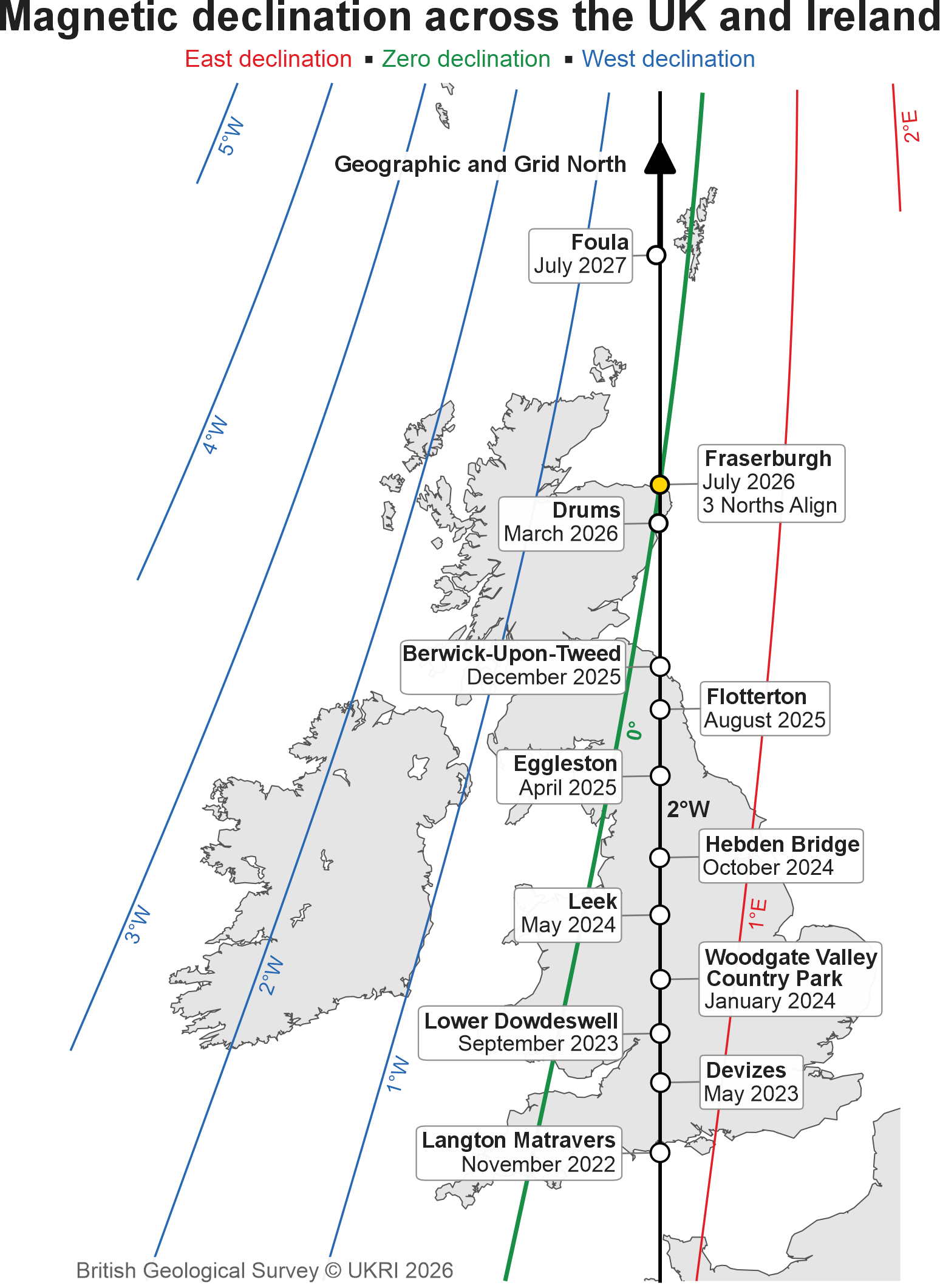
'True north' is the direction to the geographic north pole; 'grid north' is where the vertical blue lines shown on Ordnance Survey (OS) maps converge; and 'magnetic north' is the direction that a compass needle points as it aligns with the Earth's magnetic field. For the OS Great Britain map grid, true and grid north are aligned along the meridian of 2° west.
Because magnetic north drifts with the slow variation of Earth's internal magnetic field (at about 0.2° per year over the UK in 2026), magnetic north can sometimes align with true and grid norths.This triple alignment occurred for the first time in recorded history in 2022 on the south coast of England, before the meeting point drifted north along the 2° west meridian, leaving England for the North Sea, and then entering Scotland, before leaving via the north coast in 2026. The triple alignment point moved at around 500m per day over the 4 years it took to cross Great Britain. A final close approach to the island of Foula is expected around July 2027.
Articles
- News - Three Norths Set to Leave England (BGS, 2025)
- News - Three Norths Set to Leave England (Ordnance Survey, 2025)
- Blog - The Great North Run (2021) - The directions of true, grid and magnetic north will, for the first time, coincide at various locations in Great Britain between 2022 and 2026.
- Blog - When zero meets zero (2019)
- Paper - A magnetic prediction comes true (2019)
- Blog - Measuring magnetic history at Godrevy Point (2015)
- Blog - Something's happening to magnetic north in Great Britian in 2014 (2014)
- Poster - The making of ground-based vector magnetic field observations and the application of results (2013)
- Report - UK 2009-2010 repeat station report (2012)
- NERC Planet Earth - Where is North? (2010)