Jim Carrigan Magnetic Observatory
| Name | Jim Carrigan Observatory |
|---|---|
| IAGA code | JCO |
| Location | Prudhoe Bay, Alaska, USA |
| Latitude | 70.356° N |
| Longitude | 211.201° E |
| Elevation | 20m |
| Geomagnetic Latitude | 70.382° N |
| Geomagnetic Longitude | 264.674° E |
| Orientation | HDZF |
| In Operation since: | 2003 |
| INTERMAGNET member since: | 2015 |
Quasi-dipole geomagnetic coordinates are approximations calculated using the 14th generation IGRF at epoch 2026.5.
Background
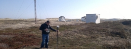
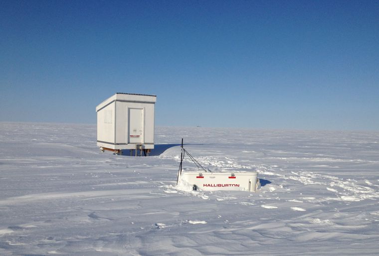
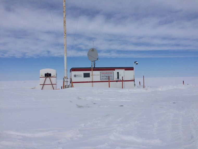
Jim Carrigan Observatory is located at T-Pad, a man-made raised gravel bed close to the drilling sites at Prudhoe Bay, Alaska. The observatory huts are raised from the tundra on four piles, set into the permafrost with sand and water, to prevent drifting snow from banking against the hut sides.
This is the fourth overseas geomagnetic observatory to be established by BGS. The installation was undertaken on behalf of Haliburton (Sperry Drilling), in support of directional drilling programmes. Halliburton has operated a prototype station since 1997 and building on its success a high-resolution observatory was installed by BGS in October 2003.
Jim Carrigan magnetic observatory is part of the INTERMAGNET network.
Data
Article